Field Notes · Apr 2025
Not Nature's Doing
England's finest wetland turned out to be man-made
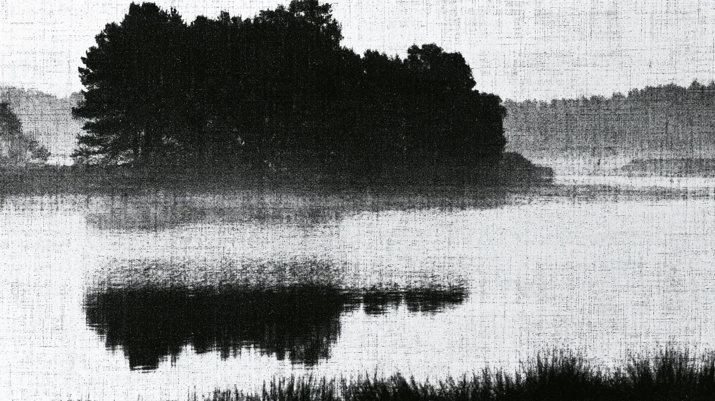
The Norfolk Broads look like the most natural landscape in England: sixty-odd shallow lakes joined by slow rivers, reedbed, grazing marsh, wet woodland, and more wildlife per acre than almost anywhere in the country.
They are holes. People dug them, by hand, with spades, and then the water came in.
What everybody thought
Until the 1950s, the accepted explanation was geological. There had been a great estuary in Roman times, in the lower valleys of the Bure, the Yare and the Waveney, which silted up over the centuries and left standing water behind. The broads were what remained.
It was plausible, it was in the textbooks, and it turned out to be entirely wrong.
Lambert
Joyce Lambert was a botanist, brought up in Brundall in Norfolk, and she had been working on the vegetation of the broads since the mid-1940s. To understand how the plant communities were arranged she needed to know what was underneath them, which meant taking cores.
She took a very large number of cores, across many of the broads, and what came up did not make sense for a natural lake.
A natural lake basin has sloping sides — the bed shelves away gradually from the shore. What she was finding was different. The sides were vertical. The floors were flat, at a fairly consistent depth of about three metres. The transitions between undisturbed peat and later accumulated mud were abrupt rather than gradual.
And there were baulks: strips of undisturbed ground running between the deep areas, exactly where a digger would leave a wall to work from and to keep the workings separate.
That is an excavation.
The collision
In 1952 J. N. Jennings, a physiographer, published The Origin of the Broads through the Royal Geographical Society. It was a serious piece of stratigraphy and it concluded that the broads were, in the main, natural.
In the same year, Joyce Lambert gave the presidential address to the Norfolk and Norwich Naturalists’ Society and said they were not.
Jennings did not dig in. A multidisciplinary team was assembled with backing from Cambridge — Lambert and Jennings together, with a historical geographer, an archaeologist and a civil engineer — and they went back over the whole question.
The documents settled it. The register of St Benet’s Abbey and the manorial accounts showed peat extraction as a large commercial industry in east Norfolk from the twelfth century. Nineteenth-century tithe maps showed the broads sitting inside the boundaries of old landholdings in ways that made no sense unless the pits followed the property lines.
They published jointly in 1960 as The Making of the Broads, and the argument was over.
The scale
Something in the order of nine hundred million cubic feet of peat came out of east Norfolk. The workings covered around three thousand acres. Digging went on for at least three hundred years.
Medieval East Anglia was the most densely populated part of England and it had almost no trees. A population that size needs fuel to cook and heat with, and what it had was peat.
The abbeys ran it as a business — turbary, in the legal term — and sold fuel into Norwich and Great Yarmouth in enormous quantities.
Then, through the thirteenth and fourteenth centuries, the sea came up. Storm surges, of which the one on 14 December 1287 was notorious, pushed water into the valleys. The pits filled faster than they could be worked, and by some point in the fourteenth century the industry stopped.
Within a few generations nobody remembered it had happened.
The bit still unexplained
Lambert was the first to point out the problem with her own theory.
If these pits were dug several metres down, below the water table in a river valley in a wet part of England, how were they kept dry enough to work in for three hundred years?
Nobody has produced a good answer. Some form of drainage, some form of pumping, some system of dams and baulks have all been suggested.
Sources
- Norfolk Record Office, 'The Norfolk Broads revealed as man-made features: the discoveries of Dr Joyce M. Lambert' — vertical sides and abrupt peat/mud transitions as evidence of excavation; findings first in print in 1953
- J. N. Jennings, The Origin of the Broads (Royal Geographical Society, 1952), concluding the broads were natural; Lambert's 1952 presidential address to the Norfolk and Norwich Naturalists' Society arguing the opposite
- The subsequent Cambridge-backed team of Lambert, Jennings, C. T. Smith, C. Green and J. N. Hutchinson published The Making of the Broads (RGS memoir, 1960), drawing on the register of St Benet's Abbey, manorial accounts and nineteenth-century tithe maps
- Scale: over 60 broads across roughly 3,000 acres of workings, dug from the twelfth century over at least three hundred years; peat removed estimated in the region of 900 million cubic feet
- Flooding attributed to rising sea levels and to storm surges, notably that of 14 December 1287; the workings were abandoned during the fourteenth century